
|
The
Macmillan Way
|
|
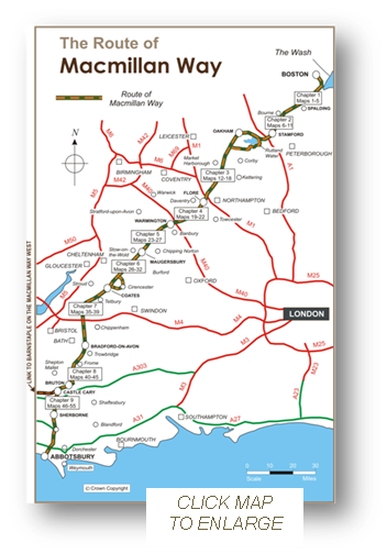
The Macmillan Way, the spine of the Macmillan Ways network of long distance paths, runs for 290 miles from Boston in Lincolnshire to to Abbotsbury in Dorset. Waymarked throughout* the route follows existing footpaths, bridleways, byways and small stretches of minor roads when these are unavoidable. It runs across beautiful open fen country for its first thirty miles and for the rest of its journey it then follows, as near as possible, the course of the oolitic limestone belt, comprising stone known as 'Cotswold' in the area, but which runs in slightly varying form all the way from South Yorkshire to Dorset. It passes through a number of small towns and villages, the architectural features of which have much in common. Many walkers have expressed great surprise at the many areas of unspoilt countryside that they have passed through while walking Macmillan Way. *Except in areas where way marking is prohibited such as Westonbirt Arboretum. . |
|
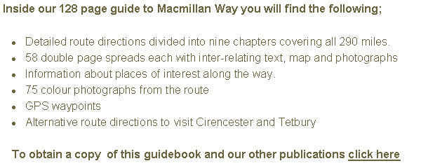
Each of the 58 Double Page spreads contain that sections map, detailed directions, colour photographs, GPS waypoints and information about the area being walked. |
|
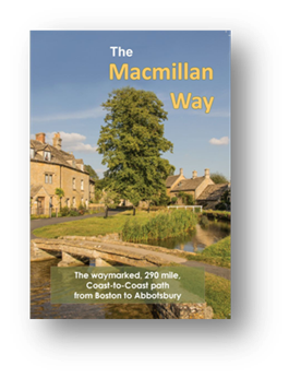
The Macmillan Way Guidebook The official and only guide for those walking the 290 miles between Boston and Abbotsbury
ALL publishers profits are passed to
|


|
Detailed maps based on the Ordnance Survey Landranger series |
|
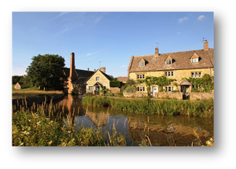
75 colour photographs from places along the route |
|
Information about places of interest along the route in brown Italic text |
|
Detailed route directions in black text |


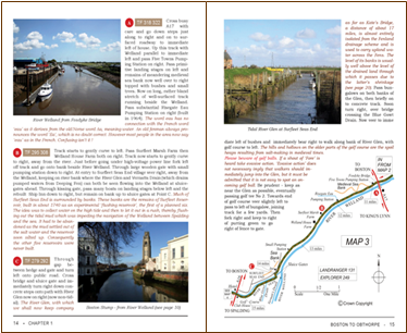
|
GPS Waypoints |